Cathedral Rapids
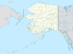
Sulog ang Cathedral Rapids sa Tinipong Bansa.[1] Nahimutang ni sa kondado sa Southeast Fairbanks Census Area ug estado sa Alaska, sa amihanan-kasadpang bahin sa nasod, 5,100 km sa kasadpan sa Washington, D.C. 455 metros ibabaw sa dagat kahaboga ang nahimutangan sa Cathedral Rapids.[1] Ang Cathedral Rapids mao ang bahin sa tubig-saluran sa Yukon River, ug usa ka sanga sa Chisana River ang ulohan sa nasod.
| Cathedral Rapids | |
| Sulog | |
| Nasod | |
|---|---|
| Estado | Alaska |
| Kondado | Southeast Fairbanks Census Area |
| Gitas-on | 455 m (1,493 ft) |
| Tiganos | 63°23′19″N 143°44′52″W / 63.38861°N 143.74778°W |
| Timezone | AKST (UTC-9) |
| - summer (DST) | AKDT (UTC-8) |
| GeoNames | 5858850 |
Ang klima boreal.[2] Ang kasarangang giiniton −7 °C. Ang kinainitan nga bulan Hulyo, sa 11 °C, ug ang kinabugnawan Enero, sa −22 °C.[3]
Ang mga gi basihan niini
usba- ↑ 1.0 1.1 Cathedral Rapids sa Geonames.org (cc-by); post updated 2010-01-30; database download sa 2017-02-28
- ↑ Peel, M C; Finlayson, B L. "Updated world map of the Köppen-Geiger climate classification". Hydrology and Earth System Sciences. 11: 1633–1644. doi:10.5194/hess-11-1633-2007. Retrieved 30 Enero 2016.
{{cite journal}}: CS1 maint: unflagged free DOI (link) - ↑ "NASA Earth Observations Data Set Index". NASA. Retrieved 30 Enero 2016.
