Payl:Broadway south from Fourth, Spencerville.jpg
Gidak-on ning maong paunang tan-aw: 800 x 532 ka mga piksel. Uban pang mga resoluyon: 320 x 213 ka mga piksel | 640 x 426 ka mga piksel | 1,024 x 681 ka mga piksel | 1,280 x 851 ka mga piksel | 2,560 x 1,702 ka mga piksel | 6,016 x 4,000 ka mga piksel.
Tibuok resolusyon (6,016 × 4,000 pixels, size sa payl: 6.37 MB, MIME type: image/jpeg)
| Camera location | | View this and other nearby images on: OpenStreetMap |
|---|
| Deskripsyon |
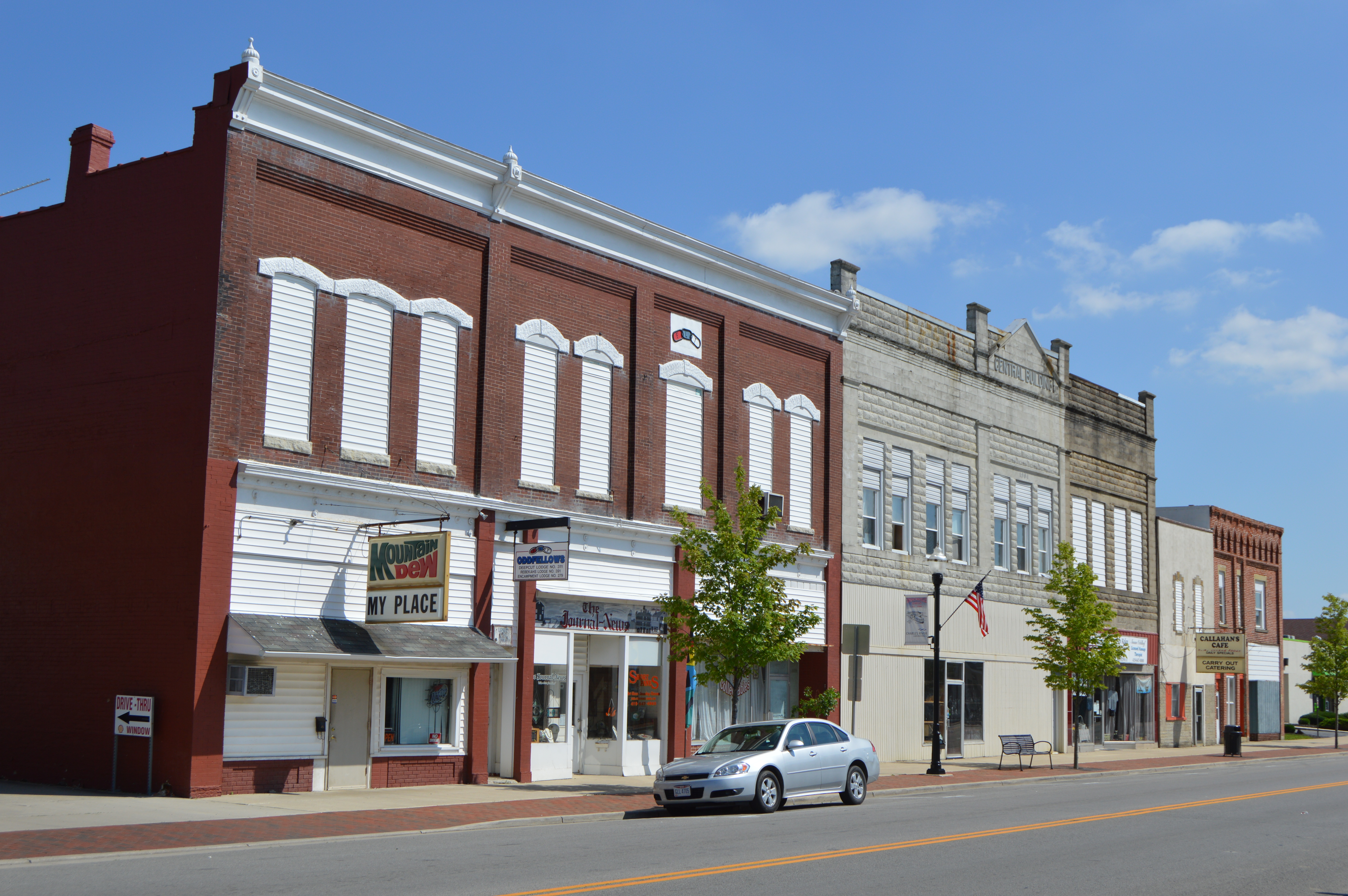
English: Buildings on the eastern side of Broadway Street (State Route 66) seen looking south from Fourth Street (State Route 117) in Spencerville, Ohio, United States. |
||
| Petsa | Taken on 15 Hulyo 2015 | ||
| Gigikanan | Kaugalingong trabaho | ||
| Tagsulat | Nyttend | ||
| Pagtugot (Paggamit pag-usab niini nga file) |
|
Kaagi sa payl
I-klik ang petsa/oras aron makit-an ang hulagway sa payl niadtong panahona.
| Petsa/Takna | Thumbnail | Mga dimensyon | Tiggamit | Komento | |
|---|---|---|---|---|---|
| kasamtangan | 04:18, 20 Hulyo 2015 | | 6,016 × 4,000 (6.37 MB) | Nyttend | {{Location|40|42|29|N|84|21|13|W}} {{Information |Description={{en|Buildings on the eastern side of Broadway Street ({{w|Ohio State Route 66|State Route 66}}) seen looking south from Fourth Street ({{w|Ohio State Route 117|State Route 117}}) in {{w|Spe... |
Mga paggamit sa payl
Ang mosunod nga mga panid misumpay niining payl:
Global nga paggamit sa payl
Kining ubang wiki naggamit ning maong payl:
- Paggamit sa ar.wiki.x.io
- Paggamit sa azb.wiki.x.io
- Paggamit sa ca.wiki.x.io
- Paggamit sa cy.wiki.x.io
- Paggamit sa de.wiki.x.io
- Paggamit sa en.wiki.x.io
- Paggamit sa es.wiki.x.io
- Paggamit sa eu.wiki.x.io
- Paggamit sa fr.wiki.x.io
- Paggamit sa glk.wiki.x.io
- Paggamit sa ht.wiki.x.io
- Paggamit sa it.wiki.x.io
- Paggamit sa lld.wiki.x.io
- Paggamit sa pl.wiki.x.io
- Paggamit sa pt.wiki.x.io
- Paggamit sa sr.wiki.x.io
- Paggamit sa uk.wiki.x.io
- Paggamit sa vi.wiki.x.io
- Paggamit sa www.wikidata.org
- Paggamit sa zh-min-nan.wiki.x.io