Payl:Manning, Iowa aerial 01A.jpg

Gidak-on ning maong paunang tan-aw: 800 x 531 ka mga piksel. Uban pang mga resoluyon: 320 x 213 ka mga piksel | 640 x 425 ka mga piksel | 1,024 x 680 ka mga piksel | 1,280 x 850 ka mga piksel | 2,560 x 1,700 ka mga piksel | 4,288 x 2,848 ka mga piksel.
Tibuok resolusyon (4,288 × 2,848 pixels, size sa payl: 9.67 MB, MIME type: image/jpeg)
Mubong sugid:
| Object location | | View this and other nearby images on: OpenStreetMap |
|---|
| Deskripsyon |
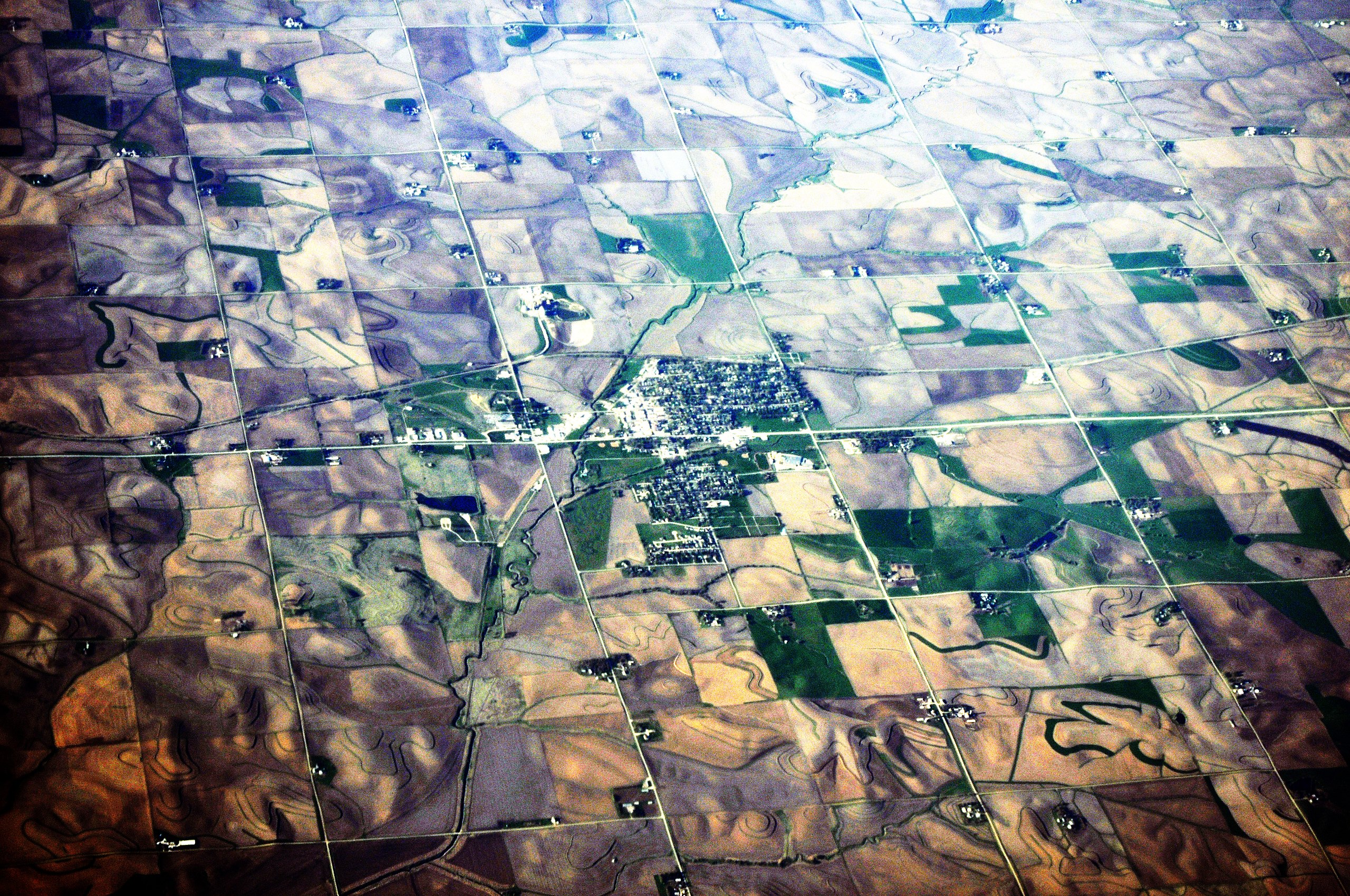
English: Aerial photo of Manning, Iowa, USA. |
||
| Petsa | Taken on 1 Abril 2012 | ||
| Gigikanan | Photo by Joe Mabel | ||
| Tagsulat | Joe Mabel | ||
| Other versions |
|

Pagtugot
Joe Mabel, the copyright holder of this work, hereby publishes it under the following licenses:

|
Gitugot ang pagkopya, pag-apud-apod o/ug pag-usab ning maong dokumento ubos sa mga termino sa GNU Free Documentation License, Version 1.2 o mas bag-ong bersiyon nga gimantala sa Free Software Foundation; nga walay Invariant Sections, walay Front-Cover Texts, ug walay Back-Cover Texts. Ang kopya sa lisensiya gilakip sa bahin nga giulohang GNU Free Documentation License. |
This file is licensed under the Creative Commons Attribution-Share Alike 3.0 Unported license.
Attribution: Joe Mabel
- Libre ka:
- sa pagsabwag – sa pagkopya, pag-apod-apod ug pagsabwag sa hinimo
- sa pag-remix – sa pag-adap sa binuhat
- Ubos sa mosunod nga mga kondisyon:
- atribusyon – Kinahanglan nimo nga hatagan ang angay nga kredito, maghatag usa ka link sa lisensya, ug ipakita kung adunay mga pagbag-o. Mahimo nimo kini buhaton sa bisan unsang makatarunganon nga paagi, apan dili sa bisan unsang paagi nga nagsugyot nga gi-endorso ka sa licensor o ang imong paggamit.
- share parehas – Kung imong gi-remix, gibag-o, o gibase sa materyal, kinahanglan nimo nga iapod-apod ang imong mga kontribusyon sa ilawom sa parehas o katugma nga lisensya sama sa orihinal.
You may select the license of your choice.
Kaagi sa payl
I-klik ang petsa/oras aron makit-an ang hulagway sa payl niadtong panahona.
| Petsa/Takna | Thumbnail | Mga dimensyon | Tiggamit | Komento | |
|---|---|---|---|---|---|
| kasamtangan | 16:28, 14 Abril 2012 | | 4,288 × 2,848 (9.67 MB) | Jmabel | == {{int:filedesc}} == {{Object location dec|41.909|-95.062}} {{Information |Description={{en|Aerial photo of Manning, Iowa, USA.}} |Source=Photo by Joe Mabel |Date={{date|2012-04-01}} |Author=Joe Mabel |Permission= |ot... |
Mga paggamit sa payl
Ang mosunod nga mga panid misumpay niining payl:
Global nga paggamit sa payl
Kining ubang wiki naggamit ning maong payl:
- Paggamit sa ar.wiki.x.io
- Paggamit sa arz.wiki.x.io
- Paggamit sa ca.wiki.x.io
- Paggamit sa ce.wiki.x.io
- Paggamit sa cy.wiki.x.io
- Paggamit sa en.wiki.x.io
- Paggamit sa es.wiki.x.io
- Paggamit sa eu.wiki.x.io
- Paggamit sa fr.wiki.x.io
- Paggamit sa glk.wiki.x.io
- Paggamit sa ht.wiki.x.io
- Paggamit sa it.wiki.x.io
- Paggamit sa lld.wiki.x.io
- Paggamit sa mzn.wiki.x.io
- Paggamit sa pl.wiki.x.io
- Paggamit sa pt.wiki.x.io
- Paggamit sa sr.wiki.x.io
- Paggamit sa tt.wiki.x.io
- Paggamit sa uk.wiki.x.io
- Paggamit sa uz.wiki.x.io
- Paggamit sa vi.wiki.x.io
- Paggamit sa www.wikidata.org