Payl:Map of California highlighting Modoc County.svg

Size of this PNG preview of this SVG file: 521 x 599 ka mga piksel. Uban pang mga resoluyon: 209 x 240 ka mga piksel | 417 x 480 ka mga piksel | 667 x 768 ka mga piksel | 890 x 1,024 ka mga piksel | 1,780 x 2,048 ka mga piksel | 916 x 1,054 ka mga piksel.
Tibuok resolusyon (SVG nga payl, nominally 916 × 1,054 pixels, size sa payl: 151 KB)
Mubong sugid:
David Benbennick made this map.
For more information, see Commons:United States county locator maps.
| I, the copyright holder of this work, release this work into the public domain. This applies worldwide. In some countries this may not be legally possible; if so: I grant anyone the right to use this work for any purpose, without any conditions, unless such conditions are required by law. |
Kaagi sa payl
I-klik ang petsa/oras aron makit-an ang hulagway sa payl niadtong panahona.
| Petsa/Takna | Thumbnail | Mga dimensyon | Tiggamit | Komento | |
|---|---|---|---|---|---|
| kasamtangan | 23:01, 25 Hunyo 2024 | | 916 × 1,054 (151 KB) | Nux | uniform colors with good contrast |
| 19:30, 2 Septiyembre 2019 |  | 512 × 587 (224 KB) | Fluffy89502 | newer version | |
| 10:26, 12 Pebrero 2006 |  | 9,164 × 10,536 (229 KB) | David Benbennick | {{subst:User:Dbenbenn/clm|county=Modoc County|state=California}} |
Mga paggamit sa payl
Ang mosunod nga mga panid misumpay niining payl:
Global nga paggamit sa payl
Kining ubang wiki naggamit ning maong payl:
- Paggamit sa ar.wiki.x.io
- Paggamit sa arz.wiki.x.io
- Paggamit sa az.wiki.x.io
- Paggamit sa ban.wiki.x.io
- Paggamit sa bpy.wiki.x.io
- Paggamit sa ca.wiki.x.io
- Paggamit sa ce.wiki.x.io
- Paggamit sa cs.wiki.x.io
- Paggamit sa cy.wiki.x.io
- Paggamit sa da.wiki.x.io
- Paggamit sa de.wiki.x.io
- Paggamit sa en.wiki.x.io
- List of counties in California
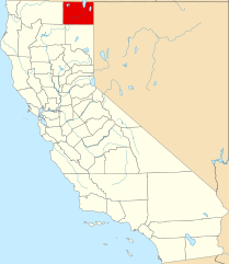
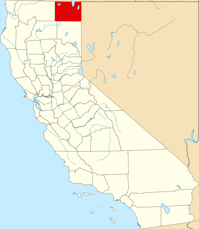
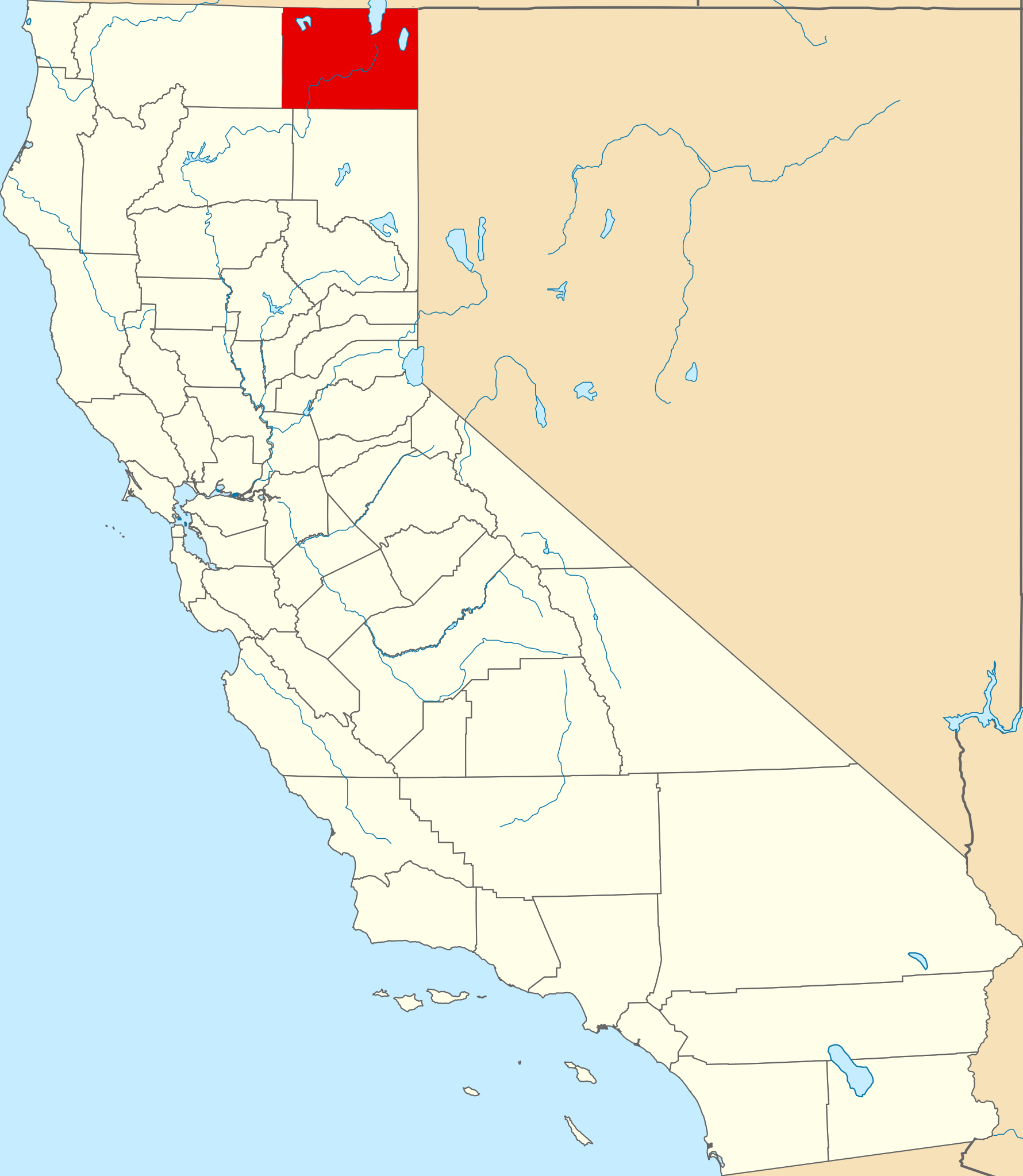
- Modoc County, California
- Alturas, California
- Cedarville, California
- Adin, California
- Canby, California
- Template:Modoc County, California
- Fort Bidwell, California
- Davis Creek, California
- Tionesta, California
- Newell, California
- Crane Creek Lumber Company
- Alturas Indian Rancheria
- Category:Wikipedia requested photographs in Modoc County, California
- Eagleville, California
- Likely, California
- National Register of Historic Places listings in Modoc County, California
- User:Nyttend/County templates/CA/2
- New Pine Creek, California
- California Pines, California
- Chumawi, California
View more global usage of this file.