Payl:Map of Montana highlighting Custer County.svg

Size of this PNG preview of this SVG file: 800 x 461 ka mga piksel. Uban pang mga resoluyon: 320 x 185 ka mga piksel | 640 x 369 ka mga piksel | 1,024 x 590 ka mga piksel | 1,280 x 738 ka mga piksel | 2,560 x 1,476 ka mga piksel | 2,043 x 1,178 ka mga piksel.
Tibuok resolusyon (SVG nga payl, nominally 2,043 × 1,178 pixels, size sa payl: 100 KB)
Mubong sugid:
| Deskripsyon |
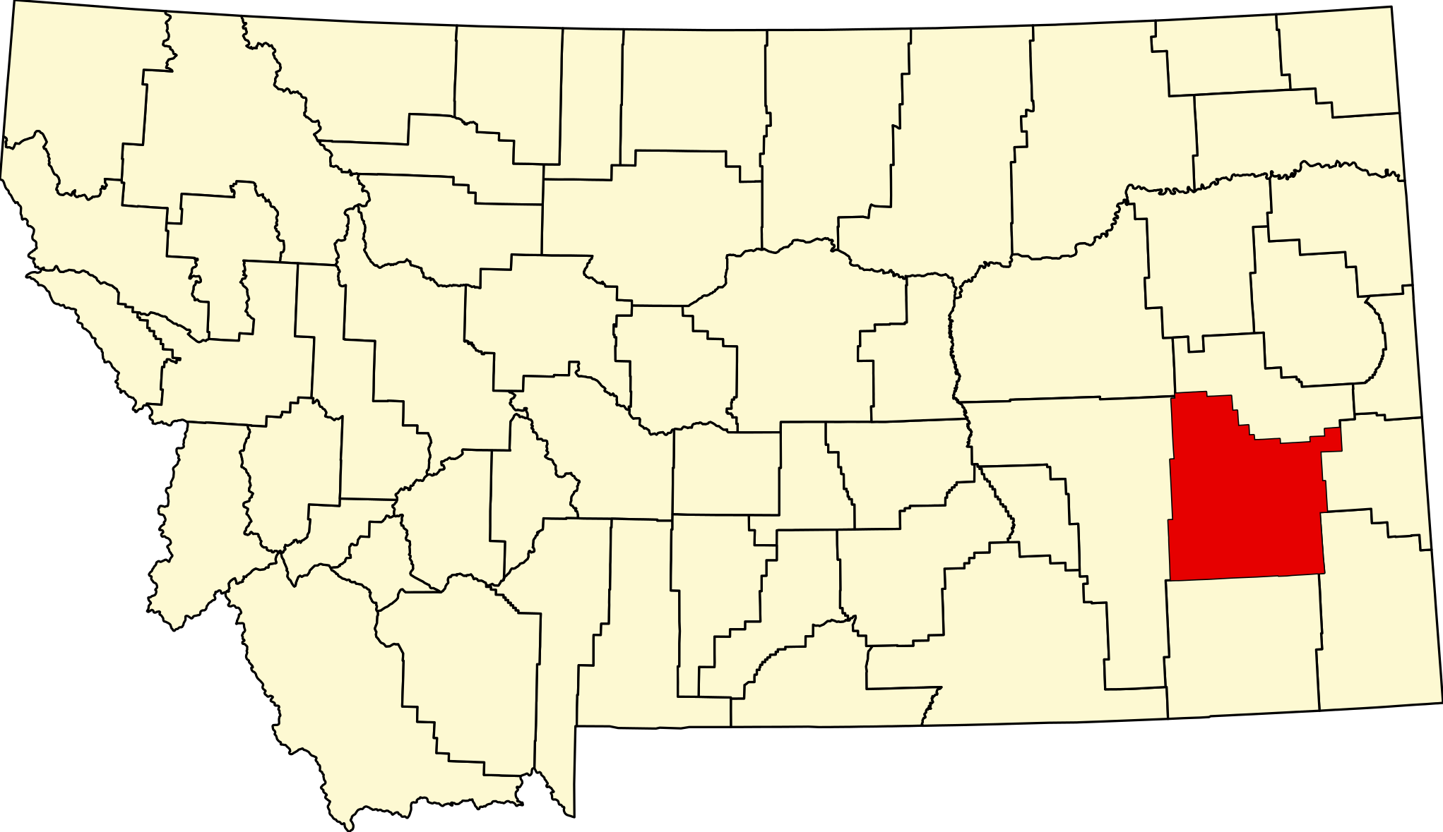
English: This is a locator map showing Custer County in Montana. For more information, see Commons:United States county locator maps. |
| Petsa | |
| Gigikanan |
Kaugalingong trabaho: English: The maps use data from nationalatlas.gov, specifically countyp020.tar.gz on the Raw Data Download page. The maps also use state outline data from statesp020.tar.gz. The Florida maps use hydrogm020.tar.gz to display Lake Okeechobee. |
| Tagsulat | David Benbennick |
Pagtugot
| I, the copyright holder of this work, release this work into the public domain. This applies worldwide. In some countries this may not be legally possible; if so: I grant anyone the right to use this work for any purpose, without any conditions, unless such conditions are required by law. |
Kaagi sa payl
I-klik ang petsa/oras aron makit-an ang hulagway sa payl niadtong panahona.
| Petsa/Takna | Thumbnail | Mga dimensyon | Tiggamit | Komento | |
|---|---|---|---|---|---|
| kasamtangan | 00:19, 25 Hunyo 2024 | | 2,043 × 1,178 (100 KB) | Nux | fix rendering (remove clipping) |
| 13:29, 12 Pebrero 2006 |  | 9,194 × 5,303 (122 KB) | David Benbennick | {{subst:User:Dbenbenn/clm|county=Custer County|state=Montana|type=county}} |
Mga paggamit sa payl
Ang mosunod nga mga panid misumpay niining payl:
Global nga paggamit sa payl
Kining ubang wiki naggamit ning maong payl:
- Paggamit sa ar.wiki.x.io
- Paggamit sa bg.wiki.x.io
- Paggamit sa bpy.wiki.x.io
- Paggamit sa cdo.wiki.x.io
- Paggamit sa cy.wiki.x.io
- Paggamit sa de.wiki.x.io
- Paggamit sa el.wiki.x.io
- Paggamit sa en.wiki.x.io
- List of counties in Montana
- Custer County, Montana
- Ismay, Montana
- Fort Keogh
- Volborg, Montana
- User:Nyttend/County templates/MT
- Template:Custer County, Montana
- Main Street Historic District (Miles City, Montana)
- National Register of Historic Places listings in Custer County, Montana
- Miles City, Montana
- List of lakes of Custer County, Montana
- List of mountains in Custer County, Montana
- Category:Populated places in Custer County, Montana
- Carriage House Historic District
- Holy Rosary Hospital
- Ismay Jail
- Olive Hotel
- William Harmon House (Miles City, Montana)
- Miles City Steam Laundry
- Miles City Waterworks Building and Pumping Plant Park
- George M. Miles House
- Thomas and Beulah Shore House
- Walrond and Elizabeth Snell House
- Ursuline Convent of the Sacred Heart
- Miles City station
- Locate Creek Bridge
- East Main Street Residential Historic District (Miles City, Montana)
- Miles City Main Post Office
- Kinsey, Montana
- Mountain States Telephone and Telegraph Company Building (Miles City, Montana)
- Template:NRHP in Custer County, Montana
- Paggamit sa es.wiki.x.io
- Paggamit sa et.wiki.x.io
- Paggamit sa eu.wiki.x.io
- Paggamit sa fa.wiki.x.io
View more global usage of this file.